We had already suspected that the high pressure over Central Europe, which was stable for several weeks, caused all lows to pass it and move into the Mediterranean area. Unstable, rather cool weather with lots of rain and thunderstorms - that is rather unusual in May and June in Greece. So we hadn't packed away our warm clothes yet.
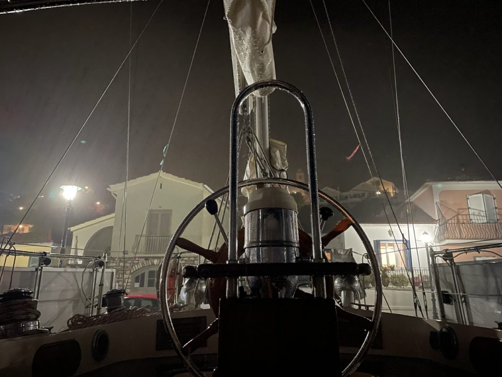
And now we know it for sure: The Omega weather system has given us this bad weather phase: in Central Europe a steady high pressure system and in the West and East low pressure areas. Normally, the weather systems relevant for Greece move from northwest to southeast. The high over Central Europe blocked this movement. So we noticed that the temperatures at home in Germany were often higher than here in the Peloponnese and the Ionian Sea. And our friends at home already envied us for the rain, because it was much too dry at their place. Most recently, we spent three particularly uncomfortable days on Ithaca in Vathy: continuous rain with thunderstorms and strong winds. Most of the time we were guarding our boat.
And why Omega? The flow field around the two lows and the high look like the Greek capital letter Ω on the weather map.
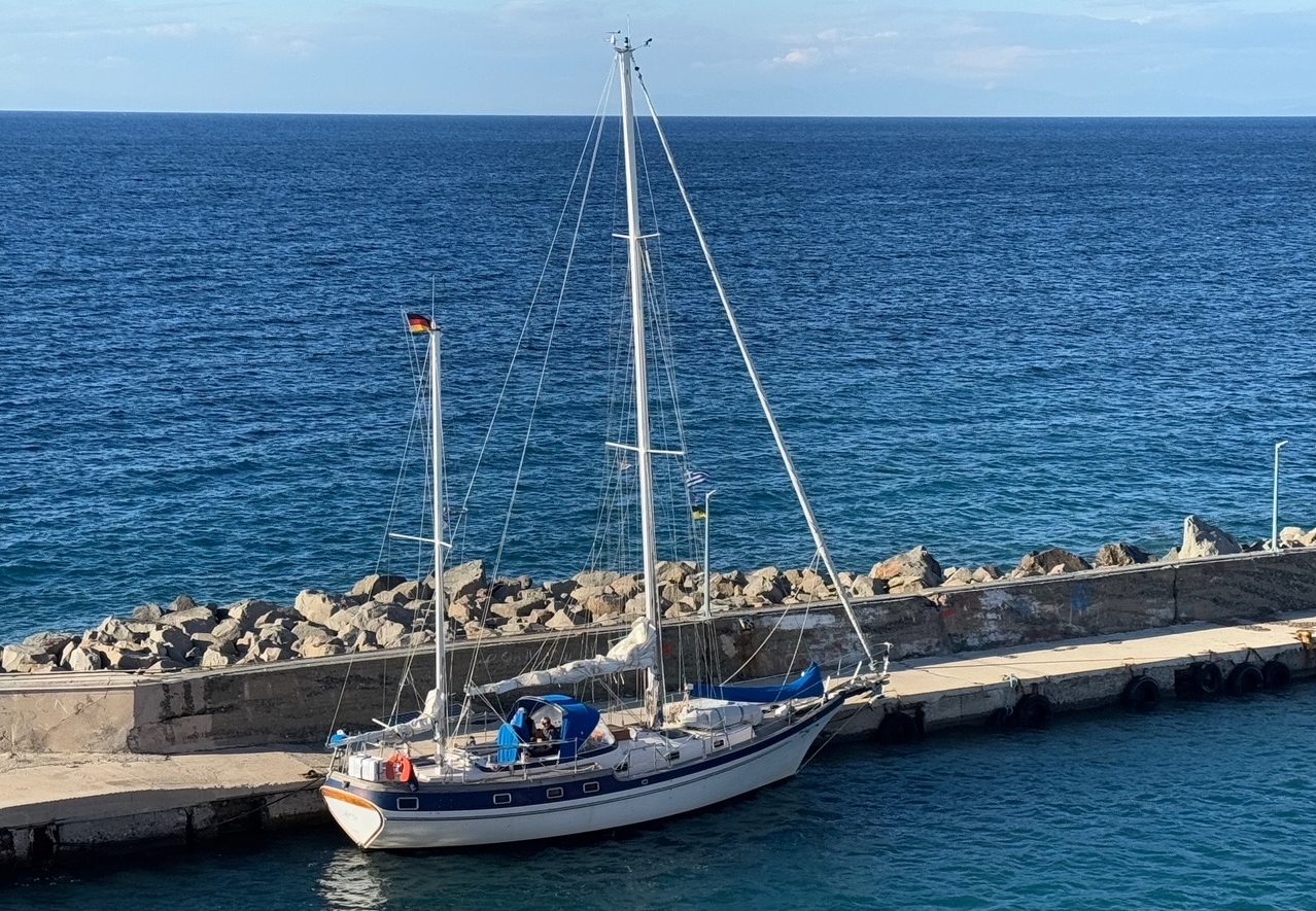
Meanwhile, the weather map looks different. The omega has disappeared. We could sail to the mainland to Astakos with sun and great sailing wind. Now it is getting warmer every day, so we unpack our sun sail more and more often.


