Springe zum Inhalt


Corinth, the second largest city in the Peloponnese, was destroyed several times by earthquakes and rebuilt in a very pragmatic chessboard fashion. The city is not very pretty - but very lively, many young people, the University of the Peloponnese is here. The huge harbour is not very busy, probably due to Corona and economic crisis.
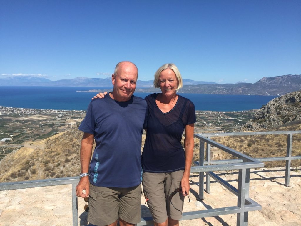
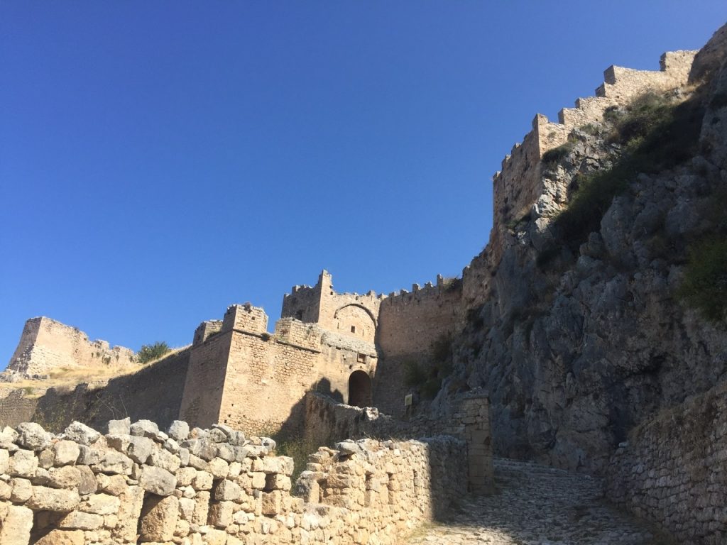
A few kilometres south of Corinth there is a gigantic single rock, Acrocorinth, 565 m high. It clearly towers above the barren partly karstified, partly volcanic hilly landscape. From its summit there is a breathtaking view to the west of the Gulf of Corinth and the surrounding mountains and the Greek mainland, to the east of the Saronic Gulf with its many islands, a red-brown-green-deep blue composition.
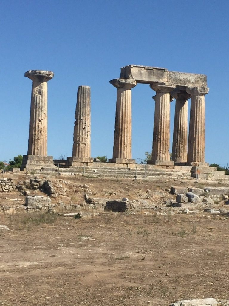
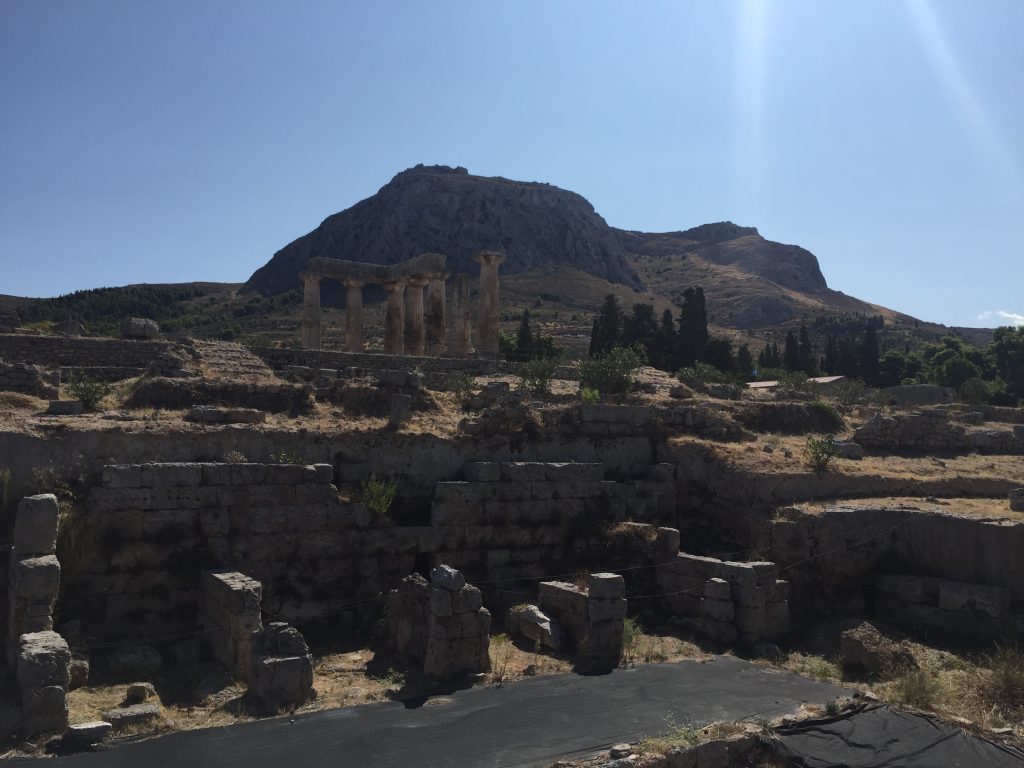
Since the early Greek time, 7th century, the rock was inhabited, a temple of Aphrodite is said to have stood on it. You can visit the by far the largest Greek fortress here, an impressive experience. Several defensive rings stuck to the partly almost vertical rock walls, towers and battlements, meter-thick walls, a cistern, a small church and a mosque stand on the site high above Corinth. The fortress is more than twice as high and much more extensive than that of Nafplion, which is already gigantic. With its strategic position, from which it was possible to dominate the gulf, it was of course always fought over by competing powers: the basic complex was built by the Byzantines in the 7th century. The Franks followed in 1210, then the Palaeologists (the last Byzantine emperors) in the 14th century, then the Knights of Rhodes, then the Turks, then the Venetians, then again the Turks until Greek independence in 1822. Everyone continued to build the fortress, which is one of the reasons why it is so impressive.
With its history, it is typical of the Peloponnese as a whole as a sought-after interface between East and West, as an important station on the trade routes from Italy to Constantinople, and as a transit area for crusaders.
We took a taxi up the steep mountain to the first gate - and after several hours of sightseeing, hiking and clambering through the extensive grounds we walked back by foot, always with the magnificent view of the gulf, down to ancient Corinth with its columns and excavated ancient buildings.

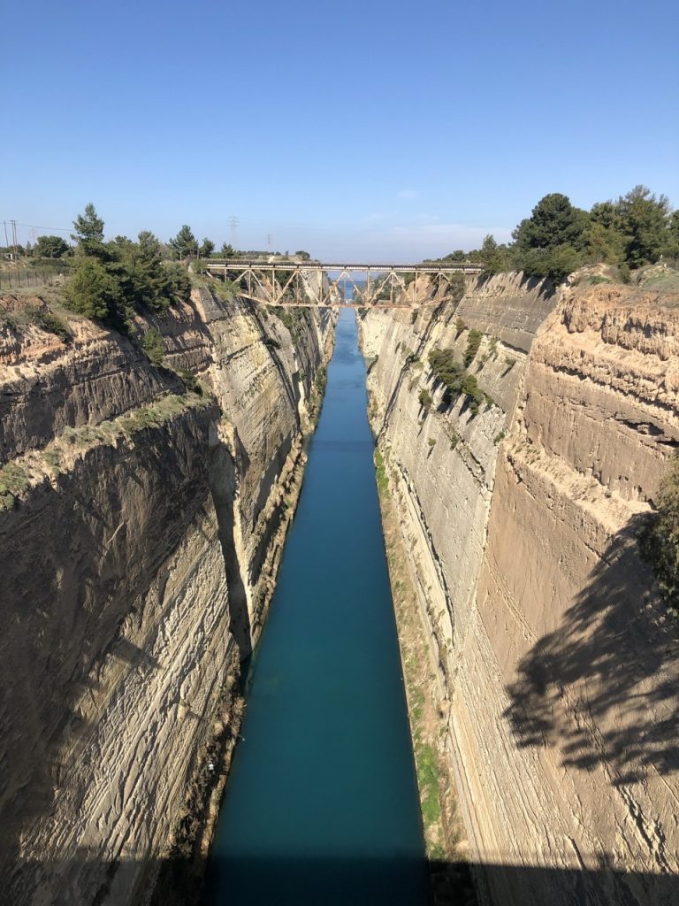
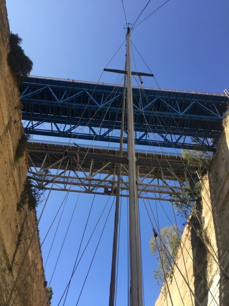
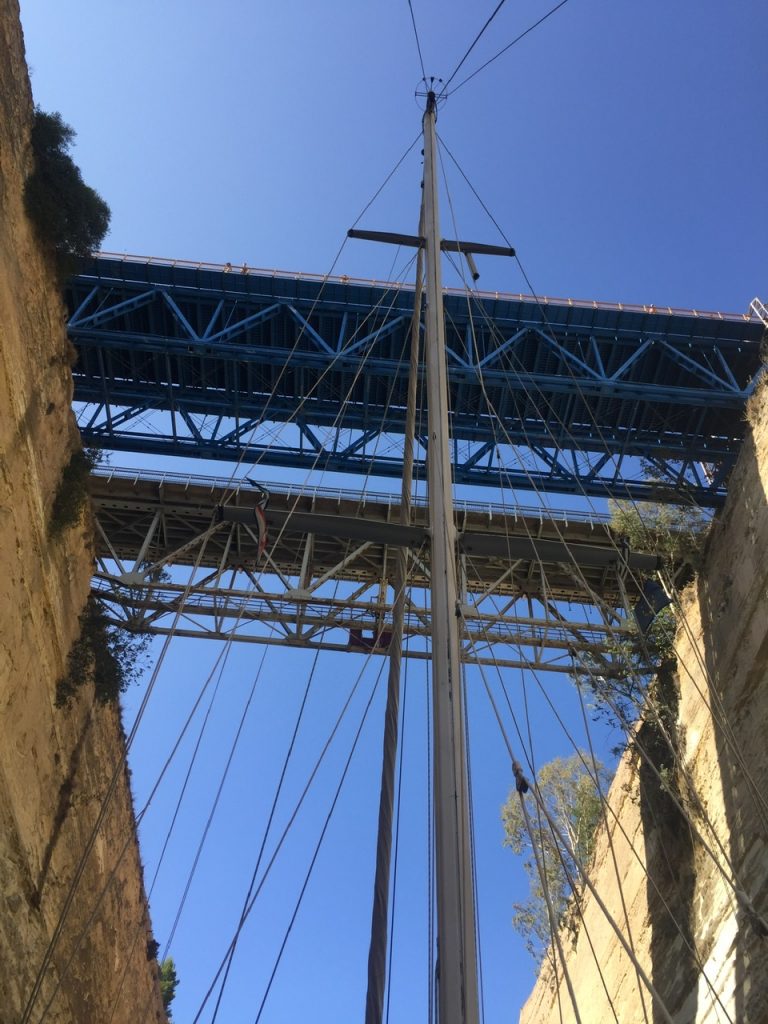
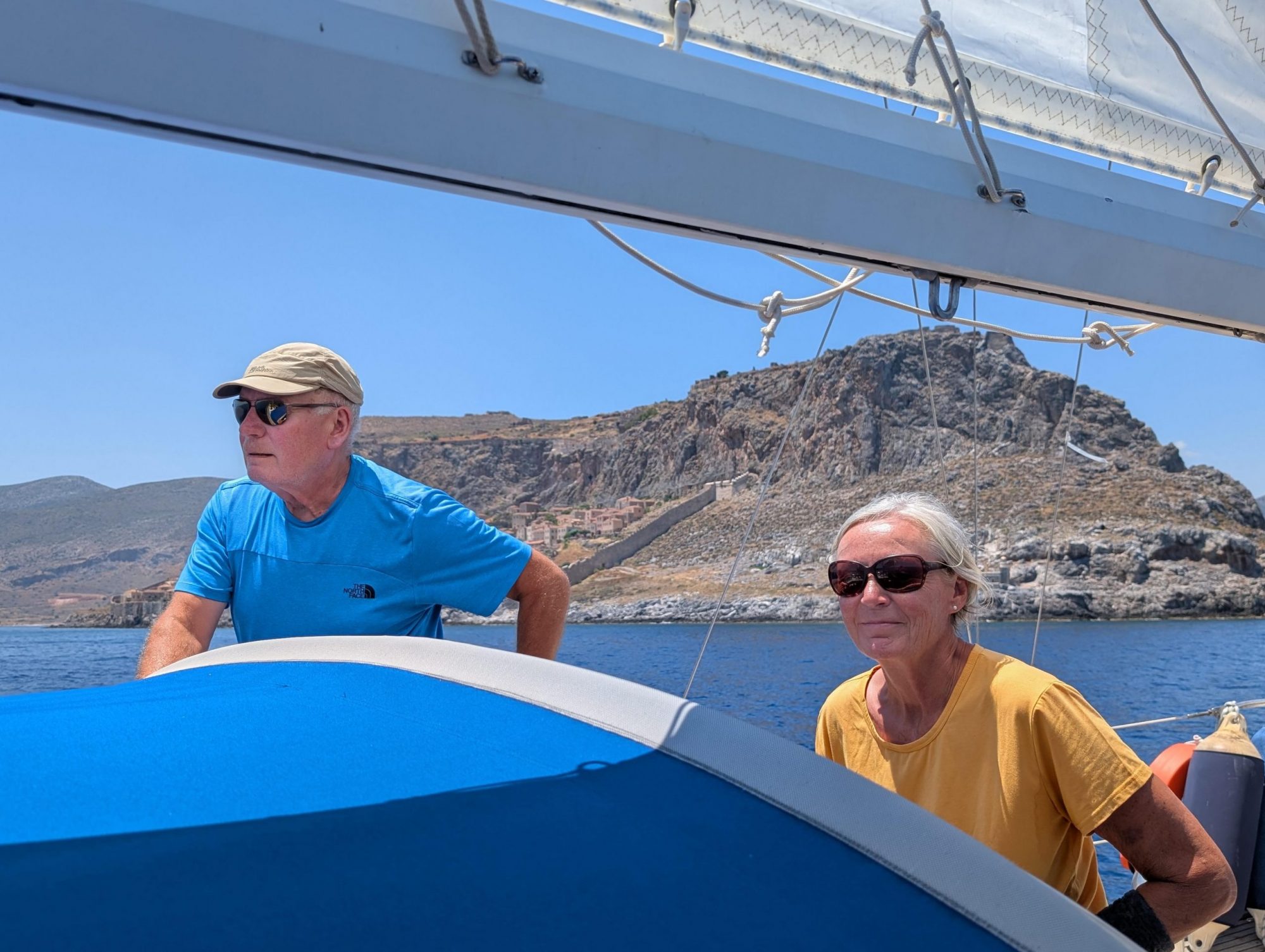
In the middle of March, together with Beatrix and Peter, from whom we had bought Aglaya, we stood on top of the car bridge and looked out over the Corinth Canal. And I (Gisela) had stood there 40 years ago and thought about what it would be like to sail through in a boat. Now we have done that with Aglaya. For our boat it was not the first time, for us it was. 

The channel connects the Saronic Gulf with the Gulf of Corinth. There were plans for it in ancient times and in 66 AD Emperor Nero made the first attempt, which he is said to have personally helped with a hoe and spade. 6000 Jewish prisoners of war were forced to work. But when Nero died two years later, the project was discontinued. Only the Venetians resumed the planning in 1687, but in view of the masses of rock that had to be moved, they put it down again. After the Suez Canal was completed in 1881, the new Greek state commissioned French engineers to build the Corinth Canal. It was completed 12 years later, despite major funding problems.

Already the journey was exciting: After we left the cosy little harbour in Nea Epidauros, we were unexpectedly met by wind from the front with gusts up to 45 knots with the corresponding swell. Is it possible to go through the channel with such a wind?

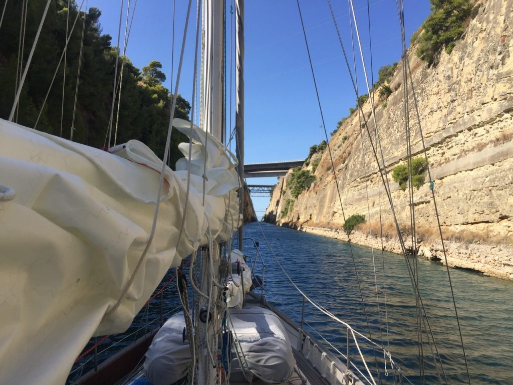
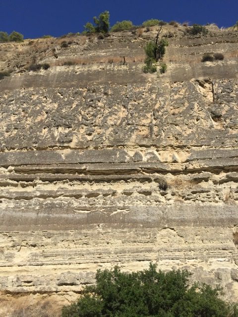
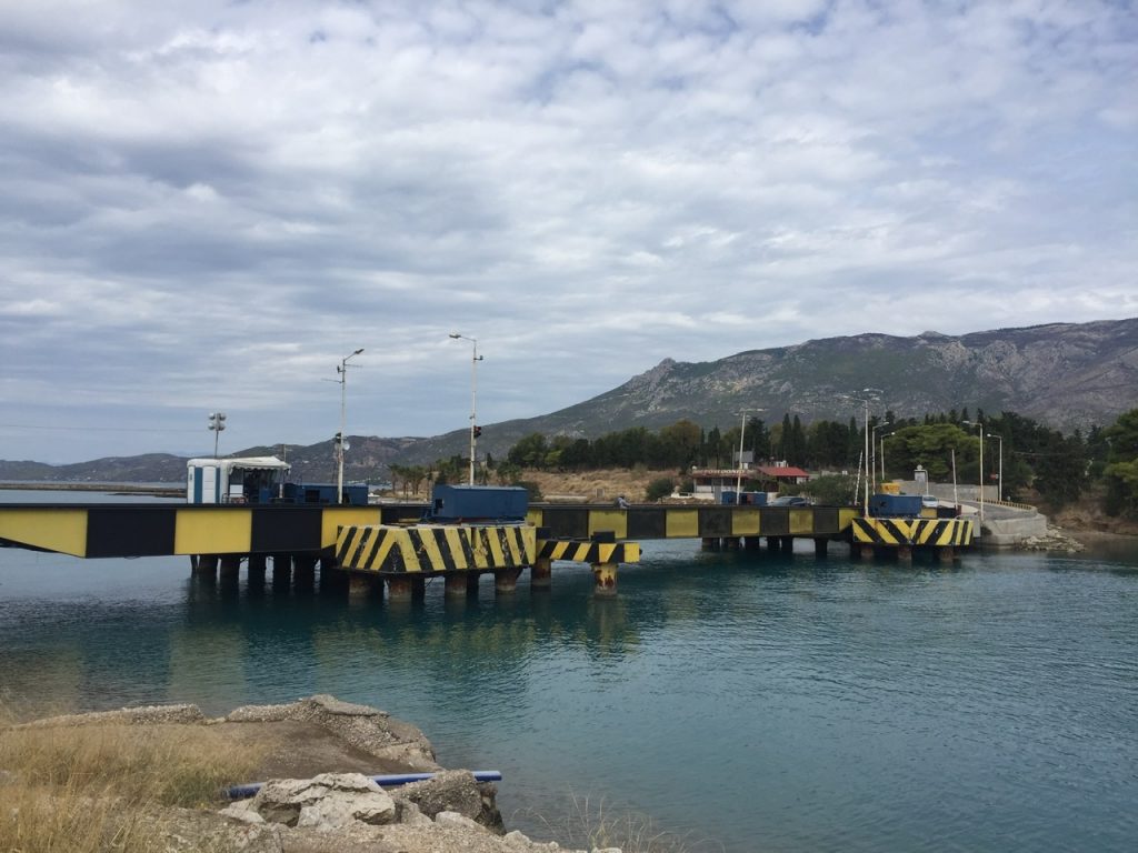
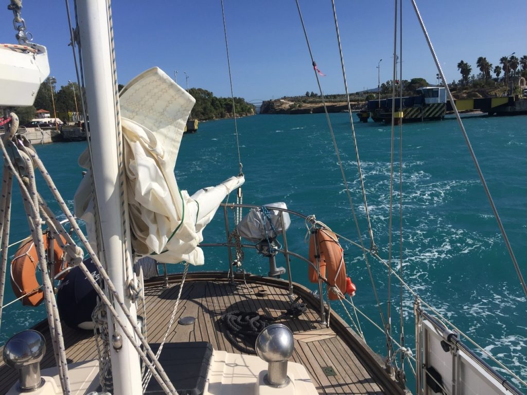
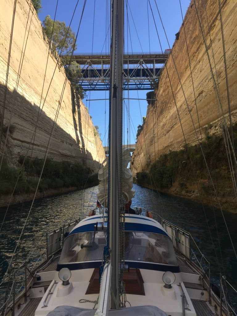
The day before we had already sent an e-mail to the Customer Service Corinth Canal and registered. Two nautical miles off Isthmia (eastern entrance) we then reported by VHF and immediately received permission to fix our boat in front of the office. Because you don't get through the canal for nothing. We paid 180 Euros for Aglaya. After a little waiting time, in which we could watch the oncoming traffic coming out of the canal and for that the almost archaic little road bridge was pulled under water with steel cables, we were called “Aglaya, quick, quick! Go!" So go! We had the canal all to ourselves, no other ships went in with us. 6.3 kilometres distance to the exit in Posidhonia, very close to us the partly bricked walls. 8 metres wide, that's not much, you're not allowed to make any detours. 30 knots wind from the front, but in the canal it doesn't matter, there is current from the front, but no swell. The small road bridge at the end of the canal disappeared under water when we were just before it. And then we were through. A great exciting experience!

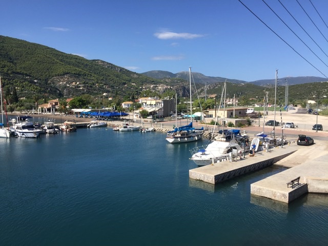
But the welcome in the Gulf of Corinth was quite uncomfortable. The same strong wind from the west as on the eastern side of the canal. In addition up to 3 meter high waves. Fortunately we only wanted to turn left and enter the harbour of Corinth. That was the little excitement at the end of the day: mooring with 30 knots wind in the harbour. It worked. Luckily we had help from other sailors who were already in the harbour with their boat.

That was in the middle of March
The little Bridge for cars
Now we are through!

Mitte März hatten wir zusammen mit Beatrix und Peter, von denen wir Aglaya gekauft hatten, oben auf der Autobrücke gestanden und auf den Kanal von Korinth geschaut. Und ich (Gisela) hatte vor 40 Jahren dort gestanden und überlegt, wie es wohl sein würde, mit einem Schiff hindurch zu fahren. Nun haben wir das mit Aglaya gemacht. Für unser Boot war es nicht das erste Mal, für uns schon. 

Der Kanal verbindet den Saronischen Golf mit dem Golf von Korinth. Bereits in der Antike gab es Pläne dafür und Kaiser Nero machte 66 n. Chr. den ersten Versuch, bei den er höchst persönlich mit Hacke und Spaten Hand angelegt haben soll. 6000 jüdische Kriegsgefangene wurden zur Arbeit gezwungen. Doch als Nero zwei Jahre später starb, wurde das Projekt eingestellt. Erst die Venezianer nahmen 1687 die Planungen wieder auf, legten sie aber angesichts der zu bewegenden Felsmassen auch wieder nieder. Nachdem 1881 der Suezkanal fertiggestellt wurde, beauftragte der neue griechische Staat französische Ingenieure mit dem Bau des Kanals von Korinth. 12 Jahre später wurde er trotz großer Finanzierungsprobleme fertiggestellt.

Schon die Anfahrt war aufregend: Nachdem wir den gemütlichen kleinen Hafen in Nea Epidauros verlassen hatten, traf uns unerwartet, da nicht so vorhergesagt, Wind von vorne mit Böen bis zu 45 Knoten mit der entsprechenden Dünung. Kann man bei einem solchen Wind durch den Kanal fahren?

Bereits am Tag vorher hatten wir eine E-Mail an den Customer Service Corinth Canal geschickt und uns angemeldet. Zwei Seemeilen vor Isthmia (östliche Einfahrt) meldet wir uns dann über Funk und erhielten sofort die Erlaubnis zum Anlegen vor dem Office. Denn umsonst kommt man nicht durch den Kanal. 180 Euro zahlten wir für Aglaya. Nach ein bißchen Wartezeit, in der wir zuschauen konnten, wie der Gegenverkehr aus dem Kanal kam und dafür die fast archaische kleine Straßenbrücke mit Stahlseilen unter Wasser gezogen wurde, hieß es über Funk „Aglaya, quick, quick! Go!“ Also los! Wir hatten den Kanal ganz für uns, keine anderen Schiffe fuhren mit uns hinein. 6,3 Kilometer Strecke bis zum Ausgang in Posidhonia, ganz nah neben uns die teilweise gemauerten Wänden. 8 Meter Breite, das ist nicht viel, da darf man keine Schlenker fahren. 30 Knoten Wind von vorne, aber im Kanal ist das egal, da gibt’s zwar Strömung von vorne, aber keine Dünung. Die kleine Straßenbrücke am Ende des Kanals verschwand unter Wasser als wir kurz davor waren. Und dann waren wir durch. Ein tolles aufregendes Erlebnis!

Der Empfang im Golf von Korinth war allerdings recht ungemütlich. Der gleiche Starkwind von West wie auf der östlichen Seite des Kanals. Dazu bis zu 3 Meter hohe Wellen. Wir wollten zum Glück ja nur noch nach links abbiegen und in den Hafen von Korinth. Das war dann noch der kleine Aufreger zum Schluss des Tages: Anlegen bei 30 Knoten Wind im Hafen. Hat geklappt. Zum Glück hatten wir Hilfe von anderen Seglern, die mit ihrem Boot schon im Hafen lagen.

Das war im März
Kleine versenkbare Autobrücke
Jetzt sind wir durch


Preliminary remark: Salamis! The naval battle of Salamis, an island we also passed by, is almost an anniversary to the day! It was in the last days of September 480, exactly 2500 years ago, that the Greeks (Themistocles) defeated the Persians (Xerxes). Historians say that this was the origin of an independent, western, non-orientated occidental culture, with political development, with literature, theatre, epics, "classical Greek" as we understand it today. But of course there were already advanced civilizations in this area, Mycenae, and Homer's epics date back to the eighth century. But the cultural area of that time, the Levant, probably reached as far as Syria, Mesopotamia, and Egypt in the south, so it was not as independent as it is…….
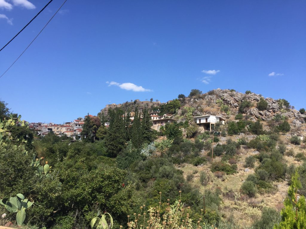
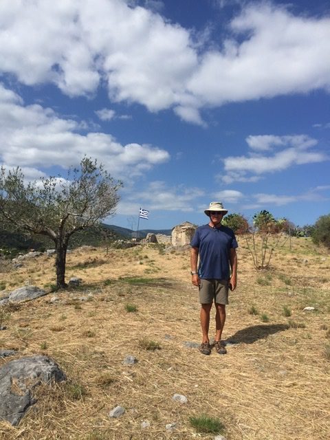
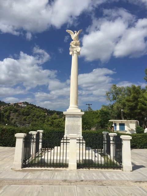
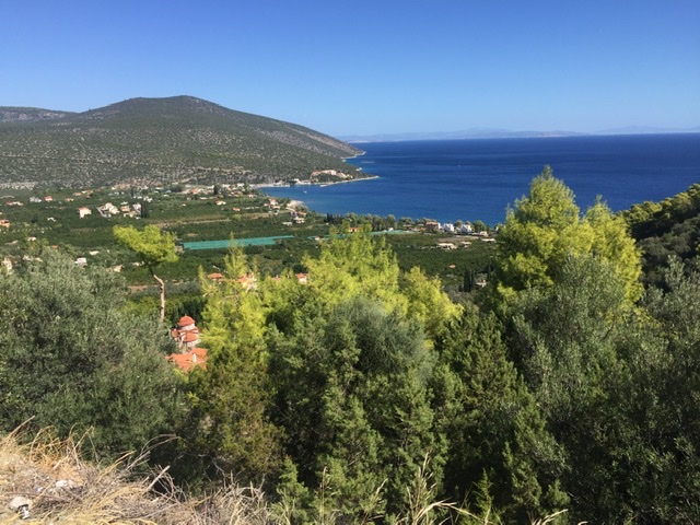
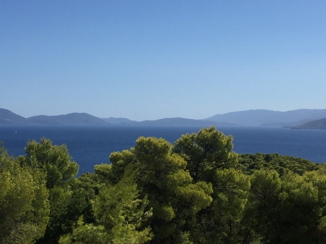
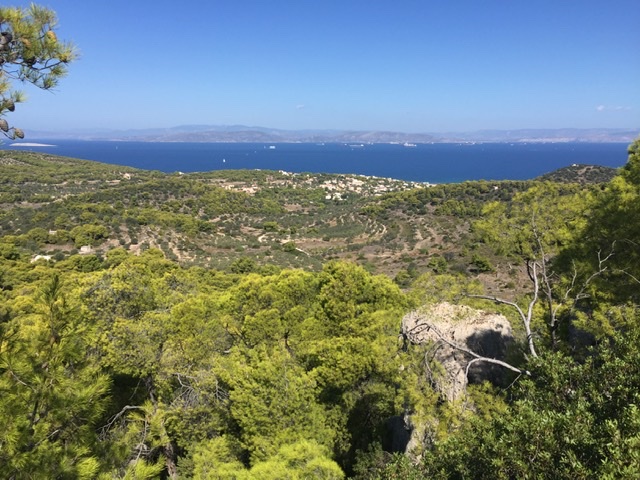
Greek country life - of course Aglaya remained in the water. But as storm was announced, we wanted to weather it as safely as possible. So Nea Epidauros, a tiny harbour, but protected on all sides - 3 km away the village (the famous theatre is only 15 km away), which is picturesquely and wildly rising up a mountain slope, surrounded by steep rugged rocks and canyons. On top, on one of the rocks, the remains of a Byzantine fortress, and a village like in a Greek picture book. Sleepy steep streets, rather corridors, tiny squares, a single pub in the village square, but: this is where Greek independence was declared, in 1822, after the Ottoman domination was overcome; a column and a museum bear witness to this. As always, we climbed up in the midday heat and were rewarded with a gigantic wide view of almost all the islands of the Saronic Gulf, suburbs of Athens so to speak. Aegina, Methana, Poros, Salamina, Agristi……..
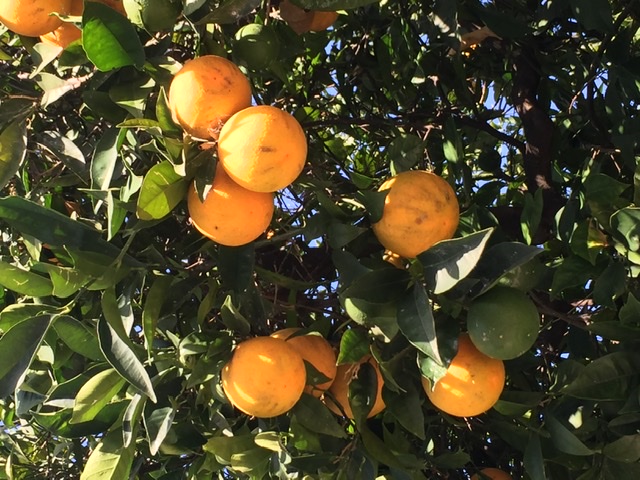
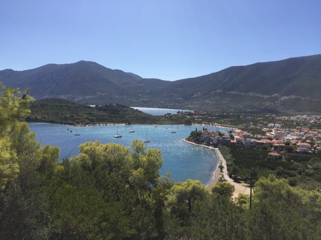
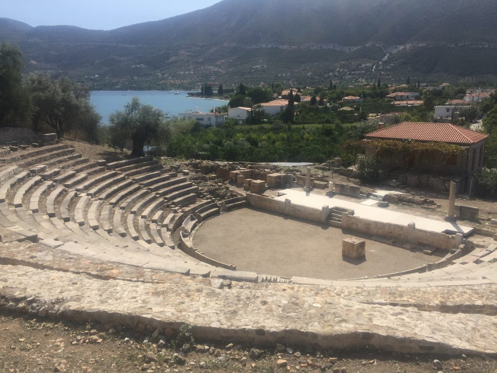
Between port and village a plain where oranges, lemons and wine are cultivated, very idyllic everything. So we walked through these groves and, as usual for us, we got further and further into the hills. The walk ended after 10km in Palea Epidauros, i.e. in the old Epidauros, a charming bay - and on a peninsula an amphitheatre, which is only a fraction of the size of the famous theatre, but which has a completely different and wonderful charm amidst olive groves - and completely without tourists.
The taxi brought us back to our little harbour, where Aglaya was patiently waiting for us.

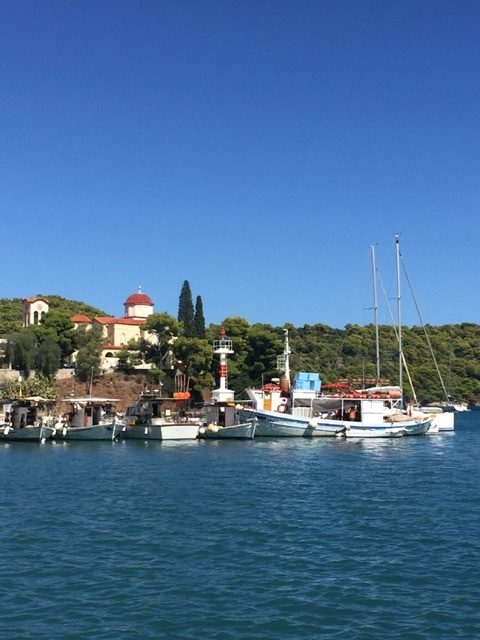
Fixed safe in the tiny little harbour of Nea Epidauros
The Byzantine Fortress above Nea Epidauros
Here the Greek independance was declared
The bay of Nea Epidauros
View into the Aegaen islands
The bay of Palea Epidauros
The small ancient theatre of Palea Epidauros


Vorbemerkung: Salamis! Die Seeschlacht von Salamis, einer Insel, an der wir auch vorbeigekommen sind, jährt sich fast auf den Tag genau! Es war in den letzten Septembertagen 480, also vor genau 2500 Jahren, dass die Griechen (Themistokles) die Perser (Xerxes) vernichtend schlugen. Historiker sagen, dass dies der Ursprung einer eigenständigen, westlichen, nicht-orient-geprägten abendländischen Kultur war, mit politischer Entwicklung, mit Literatur, Theater, Epen, „klassich-griechisch“, wie wir es heute verstehen. Aber es gab natürlich schon vorher Hochkulturen in diesem Raum, Mykene, und auch die Epen Homers datieren ja ins achte Jahrhundert. Aber der damalige Kulturraum, die Levante, reichte wohl doch bis Syrien, Mesopotamien, im Süden bis Ägypten, war also nicht so eigenständig……wie auch immer.
Griechisches Landleben - natürlich blieb Aglaya im Wasser. Aber ein Sturmtief war angekündigt, das wollten wir möglichst sicher abwettern. Also Nea Epidauros, ein winziger Hafen, aber nach allen Seiten geschützt. - 3 km entfernt das Dorf (das berühmte Theater ist hier nur 15km entfernt), das sich malerisch und wild einen Berghang hinaufzieht, umgeben von steilen schroffen Felsen und Schluchten. Obendrauf, auf einem der Felsen, die Reste einer byzantinischen Festung, und ein Dorf wie im griechischen Bilderbuch. Verschlafene steile Gassen, eher Gänge, winzige Plätze, eine einzige Kneipe auf dem Dorfplatz, aber: hier wurde die griechische Unabhängigkeit erklärt, 1822, nachdem die osmanische Herrschaft überwunden war; eine Säule und ein Museum zeugen davon. Wir sind wie fast immer in der Mittagshitze aufgestiegen und wurden mit einem gigantischen weiten Blick auf fast alle Inseln des saronischen Golfs, sozusagen Vororte Athens, belohnt. Ägina, Methana, Poros, Salamina, Agristi……..
Zwischen Hafen und Dorf eine Ebene, in der Orangen, Zitronen und Wein angebaut werden, sehr idyllisch alles. Also wanderten wir durch diese Haine und gerieten, wie bei uns so üblich, immer weiter und weiter in die Hügel. Die Wanderung endete nach 10km in Archaia Epidauros, also im alten Epidauros, eine entzückende Bucht - und auf einer Halbinsel ein Amphitheater, das nur einen Bruchteil der Größe des berühmten Theaters hat, das aber verwunschen inmitten von Olivenhainen - und vollkommen ohne Touristen - einen ganz anderen und wunderbaren Reiz hat.
Das Taxi brachte uns wieder zurück zu unserem kleinen Hafen, wo Aglaya geduldig auf uns wartete.

Gut festgemacht im kleinen gemütlichen Hafen von Nea Epidauros
Die byzantinische Festung oberhalb von Nea Epidauros
Hier wurde die griechische Unabhängigkeit erklärt
Die Bucht von Nea Epidauros
Blick in die ägäische Inselwelt
Palea Epidauros
Das kleine Amphitheater von Palea Epidauros

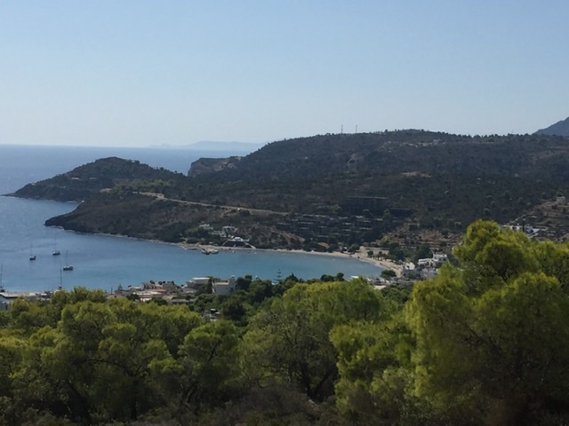
Blick vom Tempel der Aphaia zur Küste von Piräus und Athen

Ägina ist eine wunderschöne Insel, die fast schon eine Vorort von Athen ist, das macht den Hafen extrem turbulent und hektisch. Viele Boote aus Athen machen hierhin Kurzausflüge. Doch zum Hafen später mehr. In Ägina legen Tragflügelboote aus Athen, Methana, Poros und anderen Inseln an, ebenso große Autofähren. 

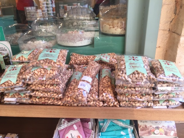
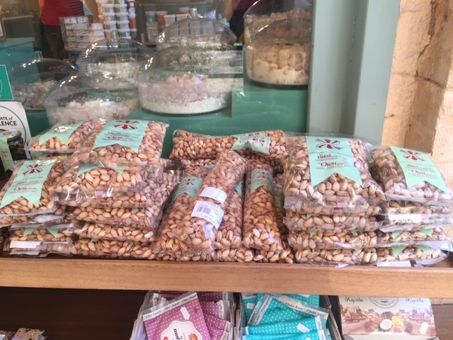
Die Insel ist hügelig und über und über mit Pistazienbäumen bewachsen, in der Stadt gibt es überall Kiosks und Läden, die Unmengen von Pistazien und Pistazien-Produkten verkaufen, vom Eis über gesalzene, ungesalzene, aber auch ungeröstete oder in Honig eingelegte oder mit Zucker überzogene Pistazien. Als Nachtisch bekamen wir einmal ungeröstete weiche Pistazien, in Honig mit Ingwer angelegt - eine Delikatesse. 

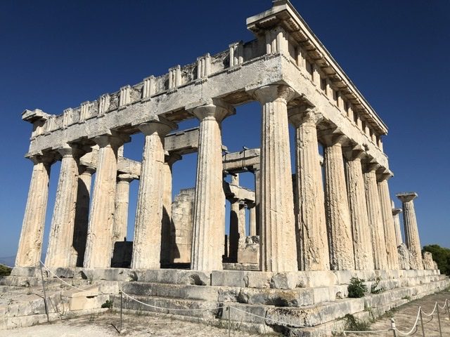
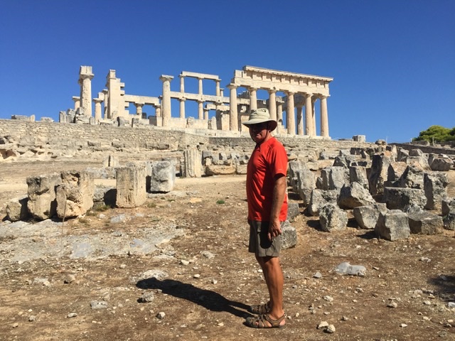
Auf einem Hügel, etwa 15 km vom Hauptort entfernt, liegt mit einem wunderbaren Ausblick bis Piräus und die gesamte Athener Küste, das Heiligtum der Aphaia, die hier - und nur hier auf Ägina  - verehrt wurde, der Tempel ist älter als die Akropolis in Athen. Vermutlich wurde schon in mykenischer Zeit hier eine Fruchtbarkeitsgöttin mit Anklängen an ägyptische Gottheiten verehrt,  auf einer Säule stand eine Sphinx. In griechisch-klassischer Zeit war es eine Tochter des Zeus (mal wieder).

Ein großer relativ gut erhaltener Tempel, von einer mächtigen Mauer umgeben, weckt Assoziationen an Agrigent oder Pästum, ist allerdings nicht ganz so vollständig. Und das Fries, es wundert einen nach der Geschichte schon fast nicht mehr, steht in der Münchner Glyptothek.

Der Hügel befindet sich über einem kleinen Fischer- und Badeort, Agia Marina, sehr idyllisch, er hat allerdings auch unter der Finanzkrise und jetzt der Coronakrise gelitten, einige Tavernen und auch Hotels sind verlassen. 

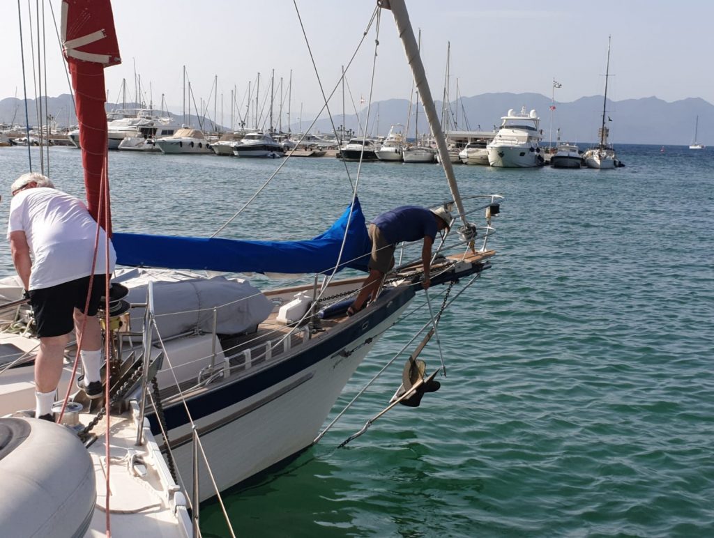
Nach drei Tagen sind wir wieder weitergefahren - allerdings zunächst mit heftigen Hindernissen: Der Hafen, in dem man mit Buganker und Leine am Heck zur Pier liegt, hat einen etwa halbkreisförmigen Grundriss. Das bedeutet: Alle Boote lassen ihren Anker ungefähr in der Mitte fallen. Das wiederum bedeutet, dass die Anker der Boote mit ihren Ketten kreuz und quer über- und untereinander liegen. Und plötzlich hatten wir beim Hochziehen unseres Ankers eine Kette dran und einen Anker, den allerdings von einer anderen Kette. Das gab Stress, der Wind drückte uns gegen andere Boote, eine Kette blockierte unsere Schraube  - ein Taucher entwirrte die Ketten und befreite unsere Schraube. Nachdem ich ihm gesagt hatte, dass ich nicht genug Bargeld hätte, begnügte er sich mit 150 statt 200 €, ein teurer „Spaß“!

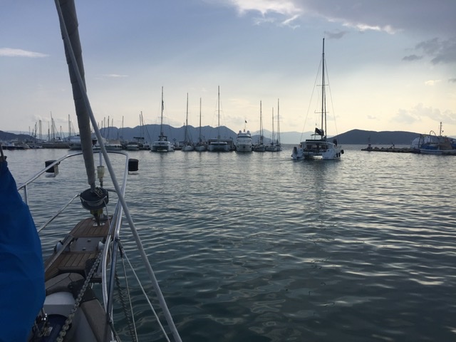
Auch wenn der Hafen schon voll ist, kommen immer noch Boote
Pistazien
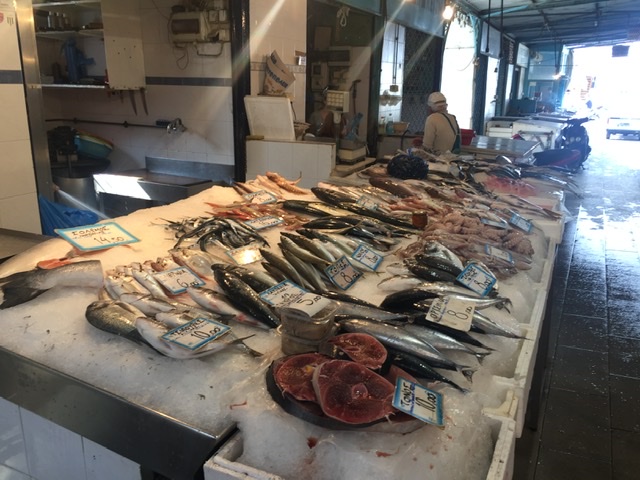
Der Fischmarkt
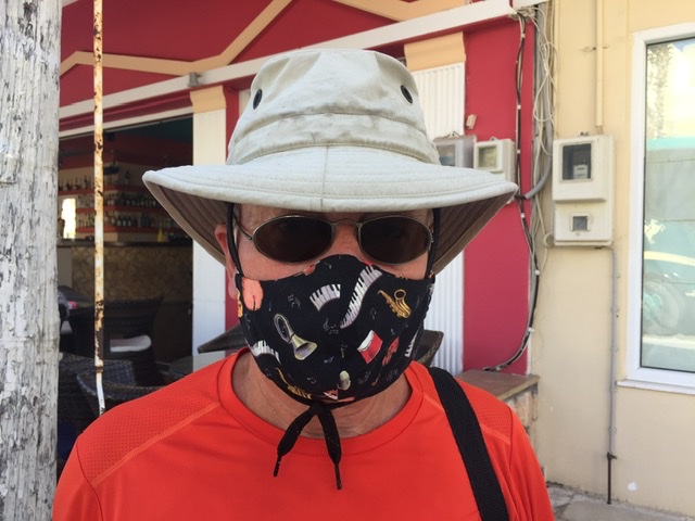
In den Bus darf man nur mit Maske
Die Bucht von Agia Marina
Beeindruckend: der Tempel der Aphaia
Beim Ablegen: anderen Anker am Haken und noch eine andere Kette unterm Kiel (Foto: Krzysztof Czopek)

View from the sanctuary of Aphaia to the coast of Pireaus an Athens

Aegina is a beautiful island that is almost a suburb of Athens, which makes the port extremely turbulent and hectic. Many boats from Athens make short trips here. But more about the harbour later. In Aegina, hydrofoil boats from Athens, Methana, Poros and other islands dock, as do large car ferries.

The island is hilly and overgrown with pistachio trees. In the city there are kiosks and shops everywhere, selling huge quantities of pistachios and pistachio products, from ice cream to salted, unsalted, but also unroasted pistachios or pistachios pickled in honey or covered with sugar. For dessert we once got unroasted soft pistachios, marinated in honey with ginger - a delicacy.

On a hill, about 15 km from the main town, with a wonderful view as far as Piraeus and the entire Athens coast, lies the sanctuary of Aphaia, who was worshipped here - and only here on Aegina - the temple is older than the Acropolis in Athens. Probably already in Mycenaean times a fertility goddess referring to Egyptian deities was worshipped here, a sphinx stood on a column. In Greek-Classical times it was a daughter of Zeus (once again).
A large, relatively well preserved temple, surrounded by a mighty wall, evokes associations with Agrigento or Paestum, but is not quite as complete. And the frieze, which is hardly surprising after all the history, is in the Glyptothek in Munich.
The hill is located above a small fishing and bathing resort, Agia Marina, very idyllic, but it has also suffered from the financial crisis and now the Corona crisis, some taverns and also hotels are abandoned.

After three days we left Aegina - but first with heavy obstacles: The harbour, where you lie with bow anchor and line at the stern to the pier, has a roughly semicircular ground plan. That means: All boats drop their anchor approximately in the middle. This in turn means that the anchors of the boats with their chains lie criss-cross over and under each other. And suddenly, when we were pulling up our anchor, we had a chain on it and an anchor, but it was from another chain. This caused stress, the wind pressed us against other boats, a chain blocked our propeller - a diver untangled the chains and freed our propeller. After I told him that I didn't have enough cash, he was content with 150 instead of 200 €, an expensive "fun"!

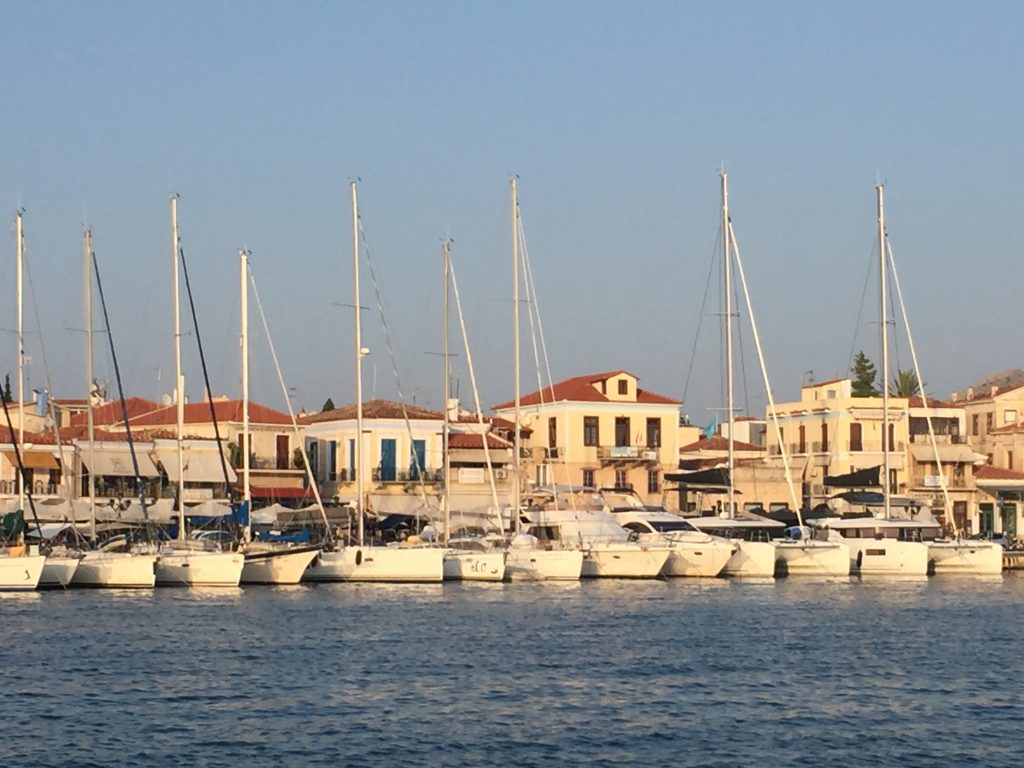
Aegina Port
Although Port is already full, boats come in all the time
Pistachos everywhere
The fishmarket
Entering a Bus, you have to wear a mask
Agia Marina
The sanctuary of Aphaia
While Leasing we picked up a foreign anchor and at the same time another chain was under our keel (Foto: Krzysztof Czopek)