Springe zum Inhalt


Kalamata. Of course, the city is known for its excellent dark reddish-brown fleshy olives, some say the best in Greece.
But there are many other interesting and beautiful things to discover in the second largest city (70000 inhabitants) in the Peloponnese.
Kalamata is a port city with an international port for foreign clearance, customs and all that - at the moment there is less or nothing going on because of Corona and probably also economic crisis.
But the old town is not at the port, as one might expect, but up on the hillside below the 800 year old fortress. Like everything else here, the fortress has changed "owners" between Turks and Venetians again and again.
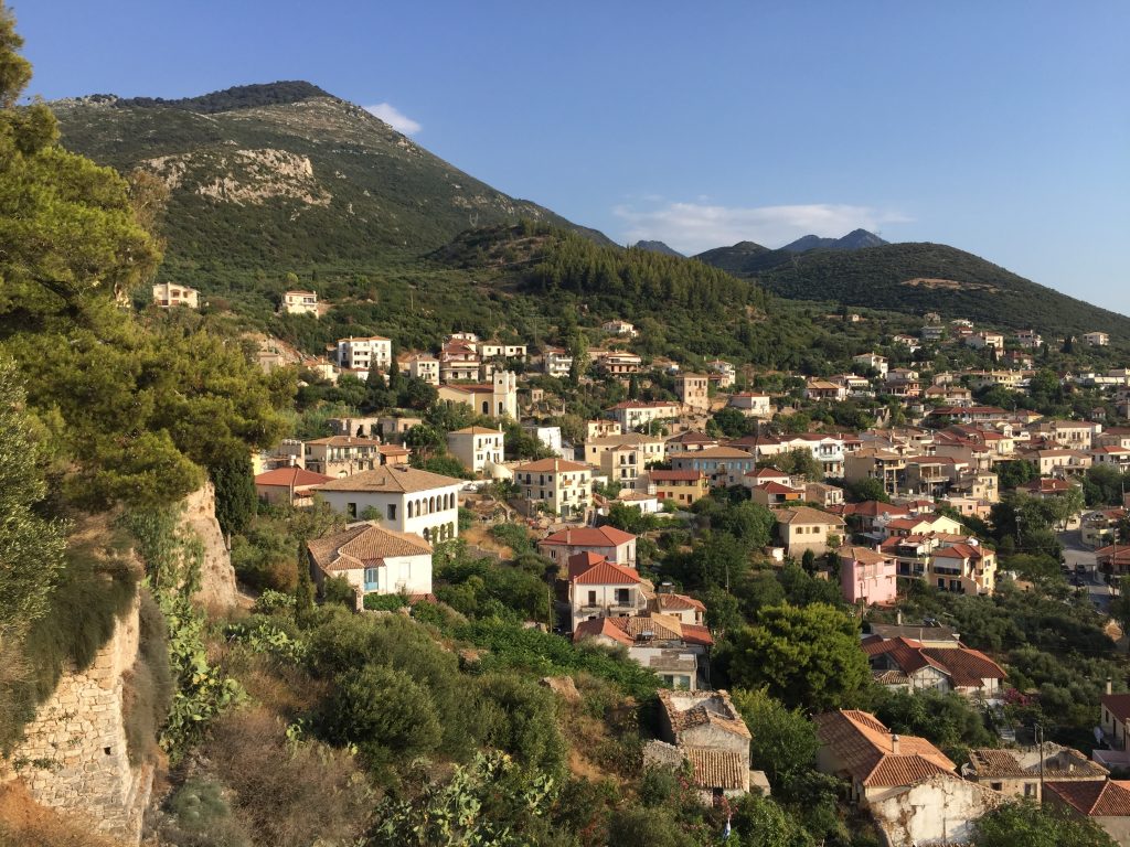
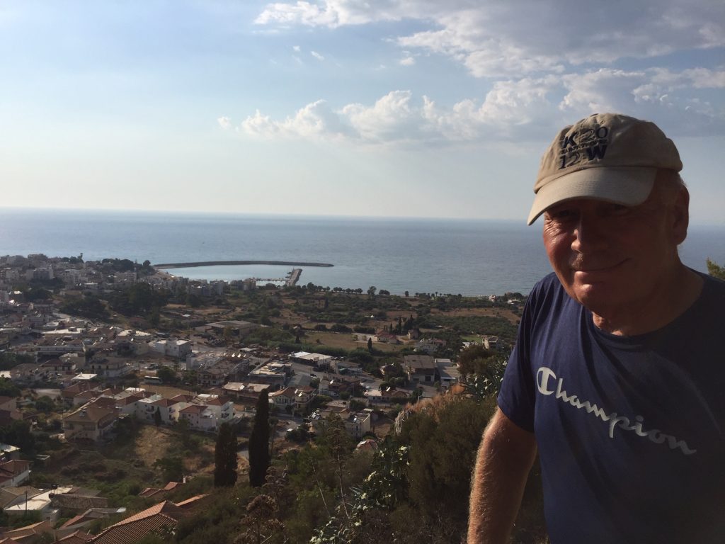
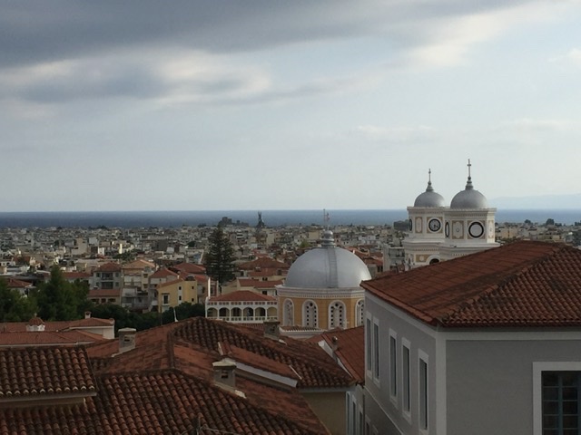
One has a grandiose view of the whole city and into the surrounding mountains and gorges, in the west the Taygetos mountains, behind which Sparta lies, and further east the Kalatio mountains, also strategically an interesting location.
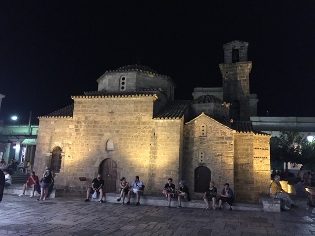
There are many small, winding, picturesque alleys above, of course with many pubs and bars, where you can eat very good and very regionally original Greek food. In the middle of the old town a tiny church from Byzantine times, which was completely rebuilt after the violent earthquake in 1986.
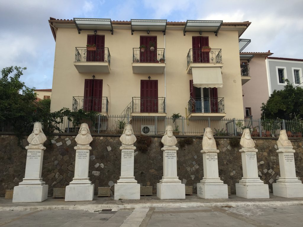
Kalamata is the centre of the Greek Orthodox Church of Messenia, all metropolitans have their statues here.
The newer city is essentially a chessboard structure, with axes up to 3 km long from the old town to the port and cross streets.
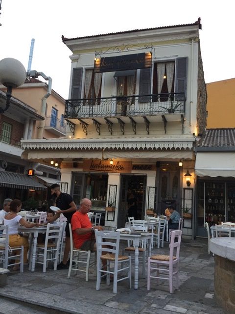
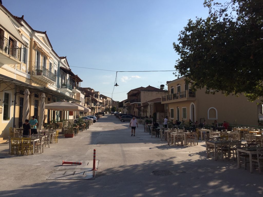
Even late in the evening you get the feeling that all inhabitants are on the streets and squares, in bars and taverns, including the many children.
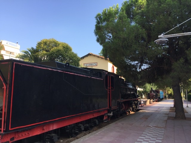
A very unusual detail: The Railpark with lots of greenery and trees, also water areas, which goes right up to the harbour - and where many old railways, freight wagons, passenger wagons, steam locomotives and railcars are located, an open-air museum, in the middle of which is the obligatory bar, the station pub so to speak.
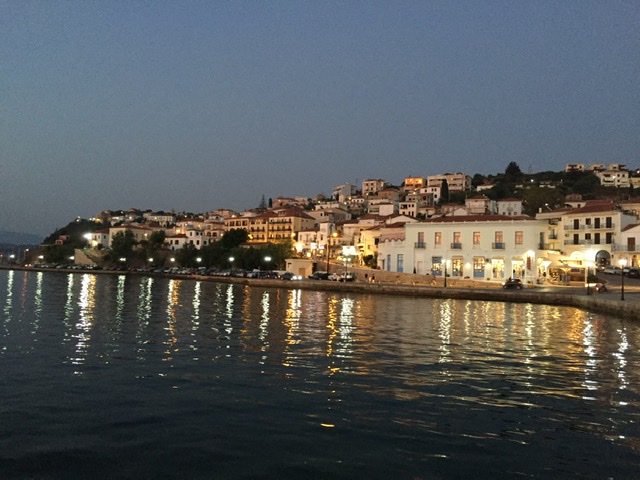
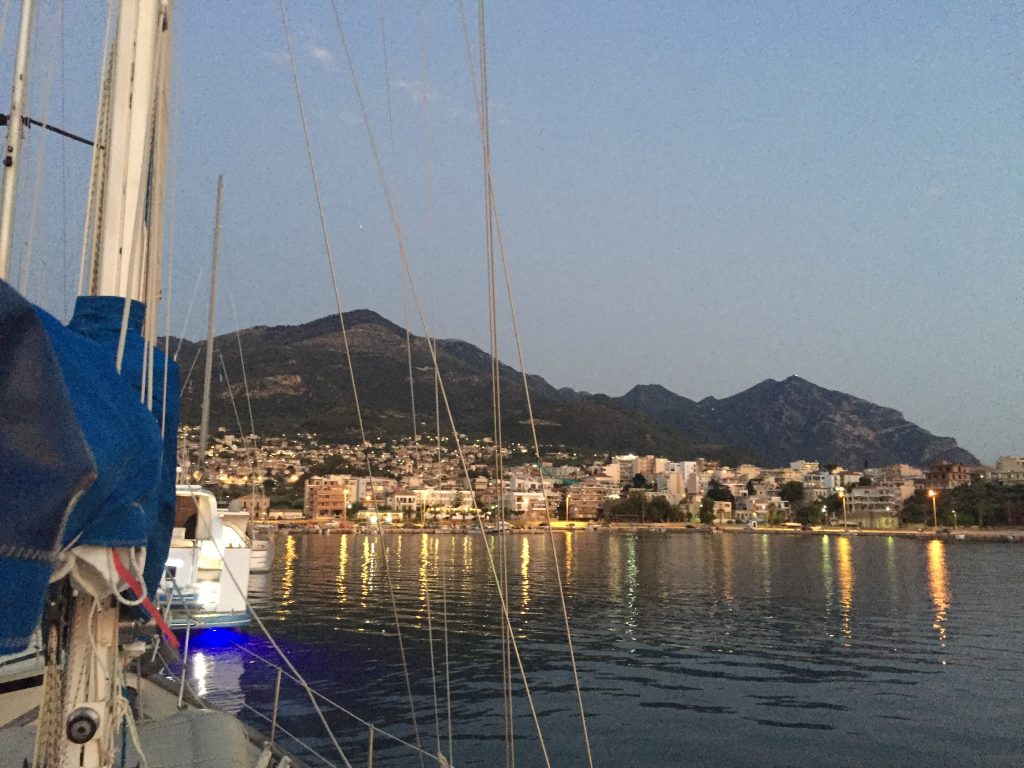
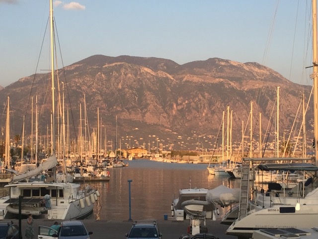
The marina with its marina for pleasure boats is located west of the large commercial harbour, here you can find supply of electricity, water, showers, washing machines…..and of course restaurants and cafés.
All in all a not spectacular, but still very worth seeing city in the western Peloponnese.
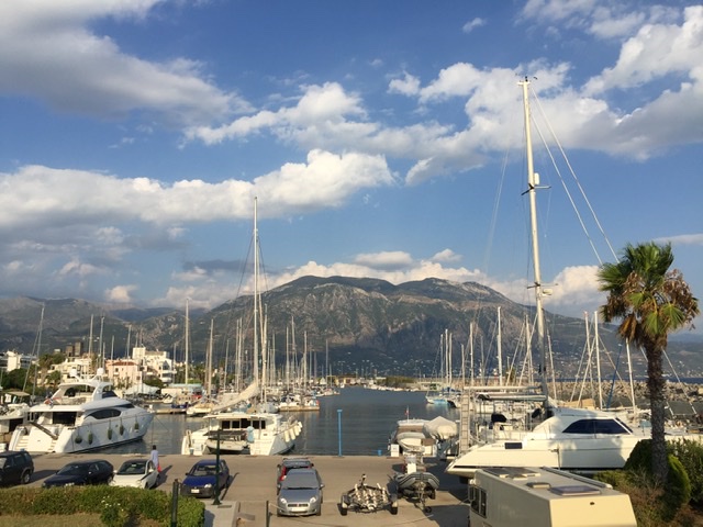
Marina
View over the city from the castle
Railway Parc
The Metropolitans of Messenia


Kalamata. Natürlich ist die Stadt bekannt für ihre ausgezeichneten dunkelrotbraunen festfleischigen wohlschmeckenden Oliven, manche sagen, die besten Griechenlands.
Aber es gibt noch ganz viele andere interessante und auch schöne Dinge zu entdecken in der zweitgrößten Stadt (70000 Einwohner) auf dem Peloponnes.
Kalamata ist eine Hafenstadt mit einem internationalen Hafen zum Einklarieren aus dem Ausland, Zollbereich und allem drum und dran - zurzeit ist eher weniger bis gar nichts los wegen Corona und vermutlich auch Wirtschaftskrise.
Aber die Altstadt ist nicht am Hafen, wie man erwarten könnte, sondern oben am Hang unterhalb der 800 Jahre alten Festung. Diese hat auch wie alles hier immer wieder den „Besitzer“ gewechselt zwischen Türken und Venezianern.
Man hat einen grandiosen Blick auf die ganze Stadt und in die umgebenden Berge und Schluchten hinein, im Westen das Taygetos-Gebirge, hinter dem Sparta liegt, und weiter östlich die vorgelagerten Kalatio-Berge, auch strategisch eine interessante Lage.
Es gibt oben viele kleine verwinkelte malerische Gässchen, natürlich mit vielen Kneipen und Bars, wo man sehr gut und sehr regional originell griechisch essen kann. Mitten in der Altstadt eine winzige Kirche aus byzantinischer Zeit, die nach dem heftigen Erdbeben 1986 komplett wieder aufgebaut wurde.
Kalamata ist das Zentrum der griechisch-orthodoxen Kirche von Messenien, alle Metropoliten haben hier ihre Standbilder.
Die neuere Stadt ist wesentlich schachbrettmäßig aufgebaut, mit bis zu 3 km langen Achsen von der Altstadt zum Hafen hinunter und Querstraßen.
Noch spätabends hat man das Gefühl, dass sämtliche Einwohner auf Straßen und Plätzen, in Bars und Tavernen, unterwegs sind, inklusive der vielen Kinder.
Ein ganz ausgefallenes Detail: Der Railpark mit viel Grün und Bäumen, auch Wasserflächen, der bis kurz vor den Hafen geht - und in dem viele alte Eisenbahnen, Güterwaggons, Personenwaggons, Dampfloks und Triebwagen stehen, ein Freilichtmuseum, mittendrin die obligatorische Bar, sozusagen die Bahnhofskneipe.
Die Marina liegt mit ihrem Sportboothafen westlich des großen Berufsschifffahrts-Hafens, hier gibt es Versorgung mit Strom, Wasser, Duschen, Waschmaschinen…..und natürlich Restaurants und Cafés.
Alles in allem eine nicht spektakuläre, aber doch sehr sehenswerte Stadt im westlichen Peloponnes.

Marina
Blick von der Festung aus über die Stadt
Railway Park
Die Metropoliten von Messenien

2

Wir verlassen die idyllische Landschaft Elis mit ihren weiten Ebenen, Hügeln, Olivenhainen, Wein- feldern und Dörfern. Wir fahren weiter nach Süden, nach Lakonien, das von Sparta geprägt wurde. Von hier kommt - genau! - der Begriff lakonisch. Älteste Erklärung für diese etwas kurz angebundene Art zu sprechen, wieder aus der Antike - Philipp II von Makedonien zum lakonischen Herrscher: „Wenn ich dich besiegt habe, werde ich deine Städte verbrennen, euer Heer vernichten und eure Frauen werden Witwen sein!“ Die Antwort: „Wenn.“
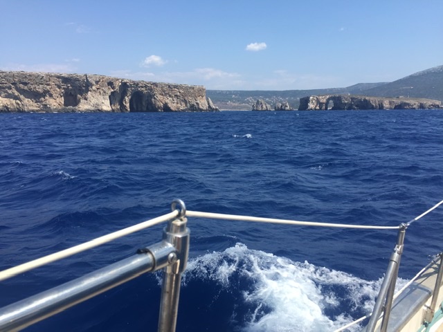
Die Landschaft wird schroffer. Steile Felsen stürzen senkrecht ins Meer ab, weiße und rotbraune Felswände, mit Gras und Macchia bewachsen, bilden eine herbes, in Kombination mit dem blau- türkisen Meer natürlich auch ein wundervolles Bild.
Die Stadt Pylos ist auf einen Hügel gebaut und hat vorgelagert eine große venezianische Festung aus dem 16. Jahrhundert. Sie liegt am Rand einer weiten Bucht - einer der besten Naturhäfen des Mittelmeeres - , die von senkrecht aufragenden Felsen gesäumt ist - die Bucht von Navarino, so hieß Pylos in venezianischer Zeit. Von weit davor stammt der Nestor-Palast, der hier ausgegraben wurde. Nestor ist der Held der griechischen Mythologie, der König von Pylos, für seine Klugheit und seine Redegewandtheit berühmt, und tritt auch in der Ilias von Homer auf, im trojanischen Krieg.
In Navarino fand 1827 eine Seeschlacht statt zwischen der türkischen Flotte und einer Flotte der Engländer, Franzosen und Russen. Diese Schlacht beendete endgültig die osmanisch-türkische Vorherrschaft und führte zur Unabhängigkeit Griechenlands, deshalb auf dem zentralen Platz ein Denkmal für die „drei Admiräle“, ein ebensolches auf einer winzigen Insel mitten in der Bucht. Das fällt in Griechenland immer wieder auf: Der Kampf um die Vorherrschaft, auch über Europa insgesamt, zwischen den (west)europäischen Ländern und dem Osmanischen Reich/ den Türken, seit dem Niedergang des oströmischen Reiches und dann der Eroberung Konstantinopels durch die Türken 1453. Eigentlich wurden diese Konflikte ja westeuropäisch begonnen durch die Kreuzzüge im 11. Jahrhundert. Teilweise wechselten die Herrschaften/ Besatzungen im 100- Jahres-Rhythmus, die Venezianer bauten Festungen, die Türken übernahmen sie und bauten sie fertig……und umgekehrt.
Pylos ist ein kleines heiteres Städtchen mit einem zentralen Platz mit vielen Kneipen und Bars. Kurze Wege führen zur Festung und damit zu wunderbaren Aussichtspunkten über die Bucht. Die venezianische Festung ist ein großzügiger Bau mit langen Mauern hoch über dem Meer, einer Kirche und einem großen Versammlungsplatz. Die Kirche hat, wie viele griechische Kirchen, ihr Vorbild als Rundbau mit Türmen davor in der Hagia Sophia in Istanbul; man war auch damals pragmatisch: Die Kirche wurde teils als christlich-griechisch-ortohodoxe, teils als Moschee genutzt.
Eine Attraktion etwas außerhalb ist die Ochsenbauch-Bucht, auch Golden Beach genannt, ein kilometerlanger Sandstrand, der im nördlichen Ende der Bucht eine Lagune abtrennt.

Wir haben in der Marina gelegen - keinerlei Versorgung (Strom oder Wasser oder Diesel), auch keinerlei Gebühren, aber ruhig und gemütlich, auch malerisch, direkt unterhalb der Felswand, auf der die Häuser von Pylos aufragen.

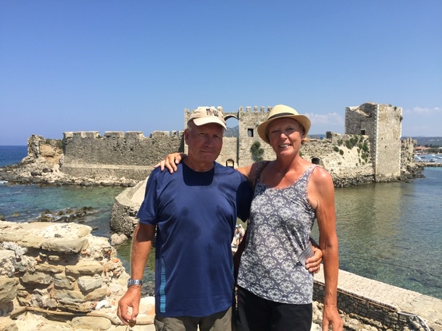
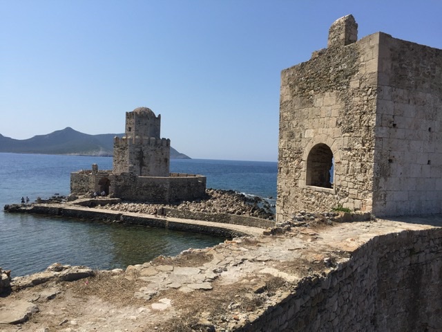
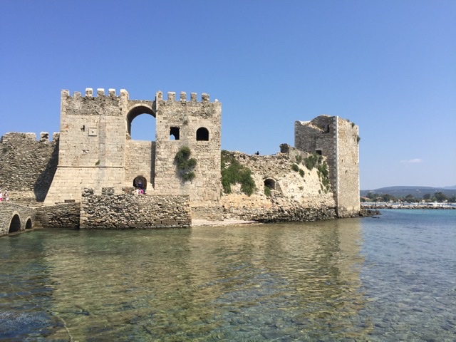
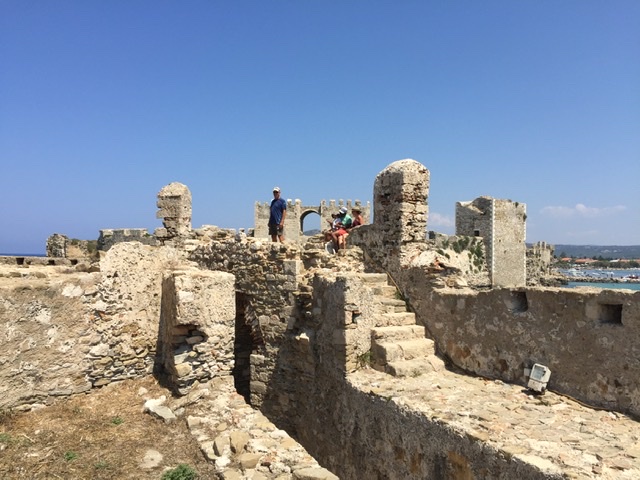
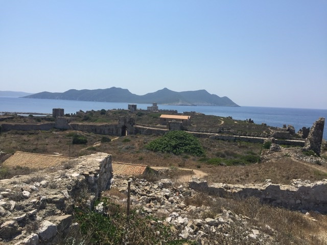
12 km südlich von Pylos liegt Methoni, die südlichste Spitze des westlichen Peloponnes, hier sind wir schon in Messenien. Eine unglaublich gigantische Festung, wieder teils venezianisch, teils türkisch, begrenzt und schützt(e) die Bucht. Riesige lange Mauern und ein unglaublich malerisch vorgelagerter Turm, teils als Gefängnis, teils als Leuchtturm, teils als Lazarett benutzt, schließt das Ensemble nach Süden ab, endend im türkisen Meer, direkt daneben der Strand und Cafés und Bars, Methoni ist ein richtiger kleiner Badeort.

We leave the idyllic landscape of Elis with its wide plains, hills, olive groves, vineyards and villages. We drive further south, to Laconia, which was shaped by Sparta. From here comes - exactly! - the term laconic. Oldest explanation for this somewhat short-winded way of speaking, again from antiquity - Philip II of Macedonia to the laconic ruler: "When I have defeated you, I will burn your cities, destroy your army and your women will be widows!". The answer: "If."
The landscape becomes more rugged. Steep cliffs plunge vertically into the sea, white and reddish-brown cliffs, covered with grass and maquis, form a harsh, and in combination with the blue-turquoise sea, of course, a wonderful picture.

The town of Pylos is built on a hill and has a large Venetian fortress from the 16th century in front of it. It is situated on the edge of a wide bay - one of the best natural harbours in the Mediterranean - which is lined by towering cliffs - the Bay of Navarino, as Pylos was called in Venetian times. The Nestor Palace, which was excavated here, dates from far before. Nestor is the hero of Greek mythology, the King of Pylos, famous for his wisdom and eloquence, and also appears in the Iliad of Homer, in the Trojan War.
In 1827 a naval battle took place in Navarino between the Turkish fleet and a fleet of the English, French and Russians. This battle put an end to the Ottoman-Turkish domination and led to the independence of Greece, therefore in the central square a monument to the "three admirals", a similar one on a tiny island in the middle of the bay. This is something that is always noticeable in Greece: The fight for supremacy, also over Europe as a whole, between the (Western) European countries and the Ottoman Empire/the Turks, since the decline of the Eastern Roman Empire and then the conquest of Constantinople by the Turks in 1453. Actually, these conflicts were started in Western Europe by the Crusades in the 11th century. Partially, the lordships/occupations changed in a 100-year rhythm, the Venetians built fortresses, the Turks took them over and finished them……and vice versa.
Pylos is a small cheerful town with a central square with many pubs and bars. Short ways lead to the fortress and therefore to wonderful viewpoints over the bay. The Venetian fortress is a spacious building with long walls high above the sea, a church and a large meeting place. The church has, as many Greek churches, its model as a round building with towers in front of it in the Hagia Sophia in Istanbul; one was also pragmatic at that time: the church was partly used as a Christian-Greek-Ortohodox and partly as a mosque.
An attraction a little outside is the Oxbelly Bay, also called Golden Beach, a kilometre long sandy beach that separates a lagoon at the northern end of the bay.

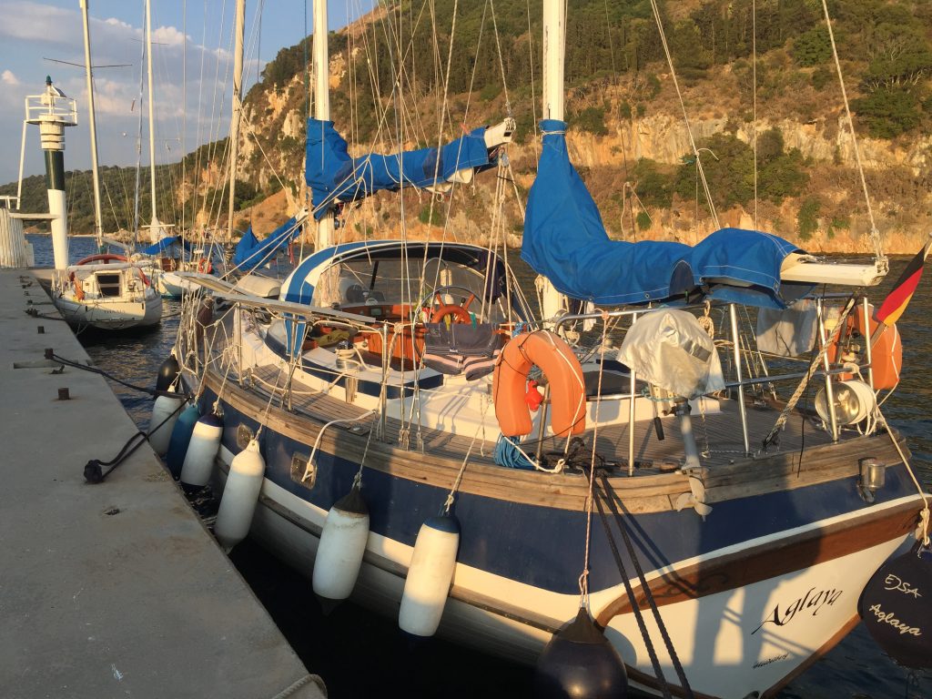
We are located in the marina - no utilities (electricity or water or diesel), also no fees, but quiet and cosy, also picturesque, directly below the rock face on which the houses of Pylos rise.


12 km south of Polos is Methoni, the southernmost tip of the western Peloponnese, here we are already in Messinia. An incredibly gigantic fortress, again partly Venetian, partly Turkish, limits and protects the bay. Huge long walls and an incredibly picturesque tower, partly used as a prison, partly as a lighthouse, partly as a military hospital, closes the ensemble to the south, ending in the turquoise sea, right next to the beach and cafes and bars, Methoni is a real small seaside resort.


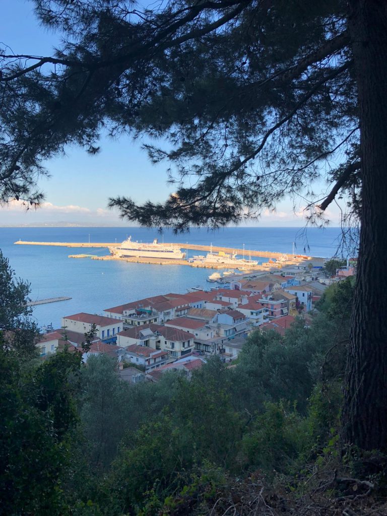
Kyparissia is situated at the southern end of a crescent-shaped bay, 27 nautical miles from Catacolon, in the ancient landscape of Eli.
It has a small idyllic harbour with a huge breakwater to protect against storms, you moor alongside, very comfortable.
The seemingly most inconspicuous places sometimes reveal hidden charms, as here too. Coming from the sea, one sees a city that rises up a steep mountain, with the typical greek mostly square cube-shaped houses. The tour guide says that it is a Byzantine city. One has to work hard to get the charms of the city: estimated 300 meters of altitude at 32 degrees. But then you are on the Byzantine fortress and have a wonderful view over the whole bay, the harbour and the sea.
20 meters below the fortress, glued directly to the wall: a kind of lounge/bar with a gigantic view and good draught beer.
A little further below, but still high above the new town and the harbour: a wonderful picturesque street with a church and many pubs, bars and shops. The houses are colourful and all have similar gable shapes, a very balanced street scene with pleasant proportions.
And as one has already made the effort to climb up here, one stays for dinner, which one can enjoy with a direct view to the sunset.
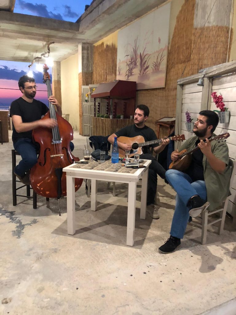
And as this is not all the charm of this wonderful little city, at approximately 9 p.m., some really original Greek folklore music starts, completely unplugged: a double bass player, a guitarist, a bouzouki player, three-part singing - wonderful, impressive!
It remains to mention that right next to the harbour there are beautiful sandy beaches with clear water and roaring surf - what more could you want?


Kyparissia liegt am südlichen Ende einer sichelförmigen Bucht, 27 Seemeilen von Katakolon, in der antiken Landschaft Elis.
Es hat einen kleinen idyllischen Hafen mit einer riesigen Mole zum Schutz vor Stürmen, man legt längsseits an, sehr bequem.
Die scheinbar unscheinbarsten Orte offenbaren manchmal ungeahnte Reize, so auch hier. Von See kommend sieht man eine Stadt, die sich einen steilen Berg hochzieht, mit den typischen griechischen meist quadratisch-würfelförmigen Häusern. Im Törnführer steht, es sei eine byzantinische Stadt. Man muss sich die Reize der Stadt hart erarbeiten: geschätzt 300 Höhenmeter bei 32 Grad. Aber dann ist man auf der byzantinischen Festung und hat einen wunderbaren Blick auf die ganze Bucht, den Hafen und die See.
20 Meter unterhalb der Festung, direkt an die Mauer geklebt: eine Art Lounge/ Bar mit gigantischem Blick und gutem Fassbier.
Etwas weiter unterhalb, aber noch hoch über der neuen Stadt und dem Hafen: Eine ganz wunderbare malerische Straßenzeile mit Kirche und vielen Lokalen, Bars und Läden. Die Häuser sind bunt und haben alle ähnliche Giebelformen, ein sehr ausgewogenes und von den Proportionen her angenehmes Straßenbild.
Und weil man sich schon mal die Mühe gemacht hat, hier hochzusteigen, bleibt man dann auch gleich zum Abendessen, das man mit direktem Blick auf den Sonnenuntergang genießen kann.
Und weil das noch nicht alles an Reizen dieses wunderbaren Städtchens ist, beginnt dann so gegen 21.00 Uhr wirklich originale griechische Folkloremusik, komplett unplugged: ein Kontrabassist, ein Gitarrist, ein Bouzoukispieler, dreistimmiger Gesang - wunderschön, eindrucksvoll!
Bliebe noch zu erwähnen, dass es direkt neben dem Hafen schöne Sandstrände mit klarem Wasser und rauschender Brandung gibt - was will man mehr?


Katakolon is a tiny town on the west coast of the Peloponnese, 25 miles from Zakynthos. The first thing you notice is that the port is an international customs port for clearing in from abroad, with restricted area, duty free and all that. Why? Cruise ships dock here and their guests can visit the old Olympia from here.
We moor with stern line and bow anchor - another somewhat exotic detail: There is water and electricity at the pier, very pleasant, every evening someone comes and writes down the names of the boats and their home ports - but never someone collects anything.
The little town is geared for day visitors, small boutiques with jewellery, leather, olive wood items, also some restaurants. It is located at a wide bay, 200m from the harbour you can find beaches with fine sand, the water is shallow, you can still stand comfortably 150m from the shore.
Katakolon is located on a headland that one has to drive around if one comes from the north. Behind the place, the way approximately 100 height meters through a pine forest, there, one can enjoy the wonderful view from a restaurant. By continuing to walk alongside the small road in order to descend at the end back to the city, one is immediately in the middle of the Greek agriculture: small flat houses, very simple, goats, sheep, chickens, olive groves………all in all, a nice worthwhile country day.